Life in Boulder 9 (雪山)
05.03
今天去走了St. Mary Glacier Trail, 爬了James Peak. 这里有广袤的雪地, 让人心旷神怡, 但是风太大太冷所以没有登到最高处(脸都被吹的没知觉了)… 在攀登的过程中有远处的Grays Peak和Torreys Peak(皆为14er)一路相伴!
St Mary’s Glacier is located 9.2 miles north of Idaho Springs in the Clear Creek Ranger District of the Arapaho National Forest. The glacier – technically a large perennial snowfield – is a popular year-round destination open to hiking, skiing, glissading, climbing and sledding.
The trail heads northwest on a wide, rocky forest road. Keep left of all offshoots (these lead to private homes), and within clearly drawn property lines on each side of the road. The road-trail rises quickly in a high subalpine forest that breaks suddenly at a bridge over St Mary’s Lake outlet (.45 miles : 10,738′). St Mary’s Lake, located just below the glacier, is ringed by bristlecone pine, thick willow and abundant wildflowers. Notable in this area are bristlecone pine, which thrive in extreme alpine environments and can live thousands of years.
The trail is somewhat vague but intuitively followed up the northeast shore of St Mary’s Lake to the glacier. It narrows on a clearer path through dense willows and emerges on the north shore just below the snowfield where it melts into St Mary’s Lake (.75 miles : 10,848′). The trail continues up the north side of the glacier over churned rocks and soil pushed to its margins by the annual growth and recession of the snow mass. Footing can be tricky, and depending on the time of year, you may very well need to walk directly on the glacier to explore its upper reaches. You’ll soon see a well-defined path on the glacier’s south side, arguably a more stable option that’s safely reached once grades moderate.
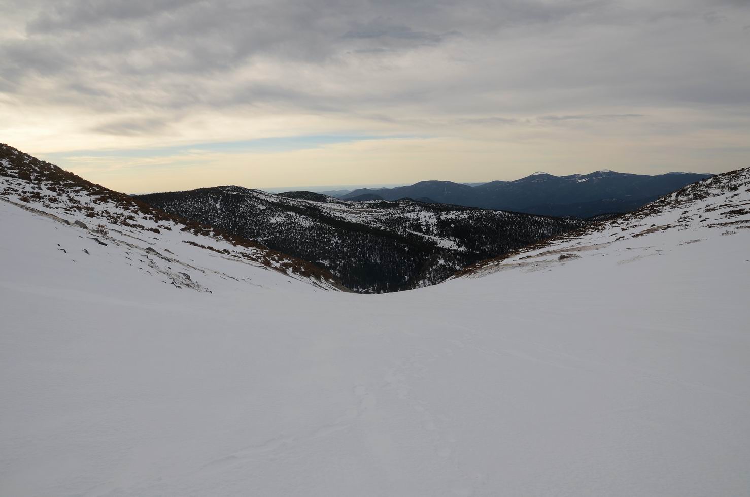
The snowfield tapers quickly up a narrow gulch that levels abruptly in vast open tundra (1.1 miles : 11,236′). Glass this expanse for elk, bighorn sheep and mountain goat. James Peak (13,294′) and Mount Bancroft (13,250′) frame the west; James Peak is accessible by an unofficial but well-marked route that joins the Continental Divide Trail up to the summit.
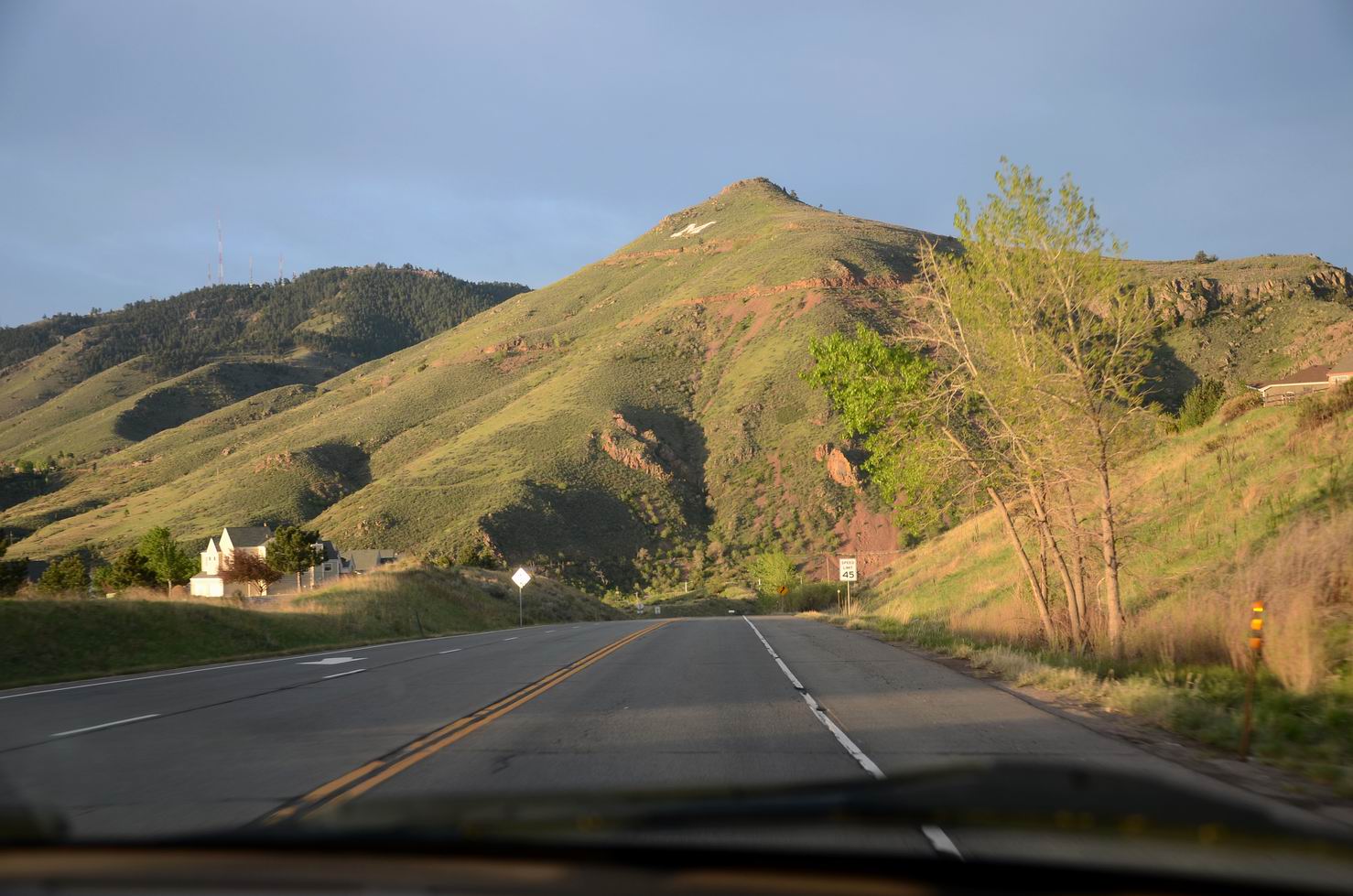
01. 清晨在路上, 前面的山头上有个M:
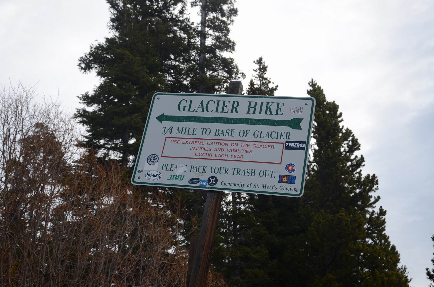
02. 照例先拍一下trail head的牌子:
03. Bristlecones may take a century to add just 1 inch in diameter, and can become nearly dormant during a drought:
04. St Mary’s Lake:

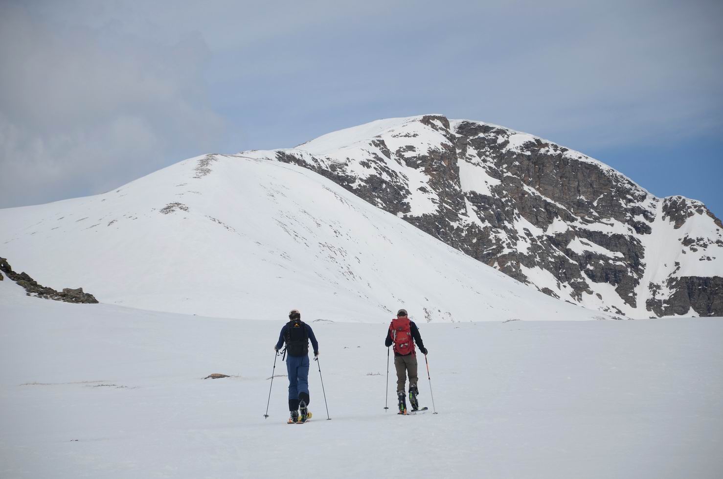
05. 开始爬坡:
06. 开始爬坡:
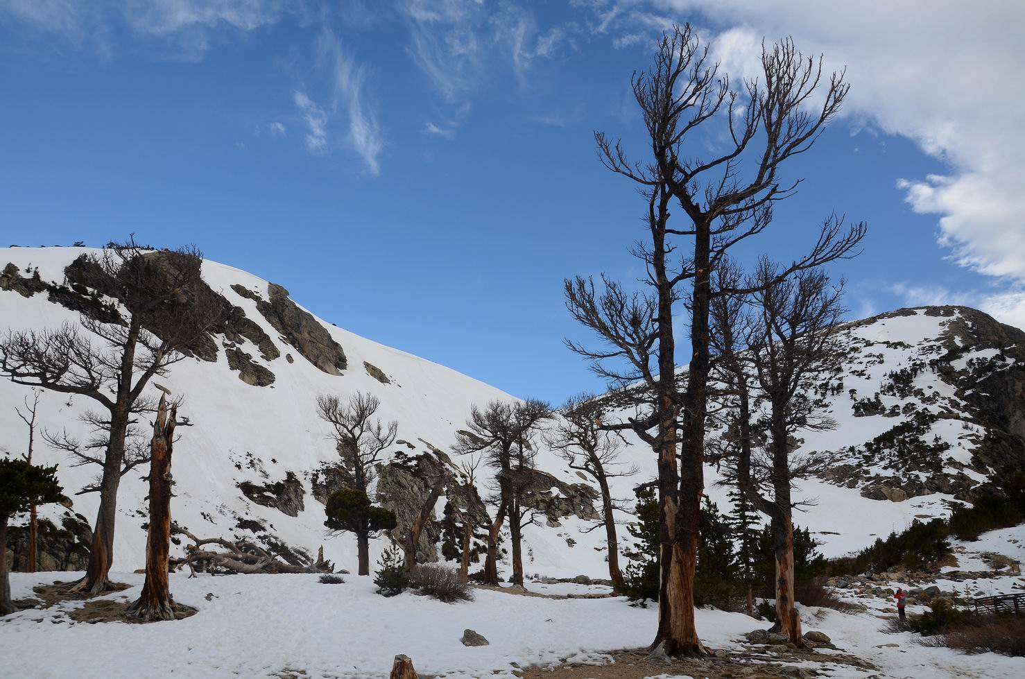
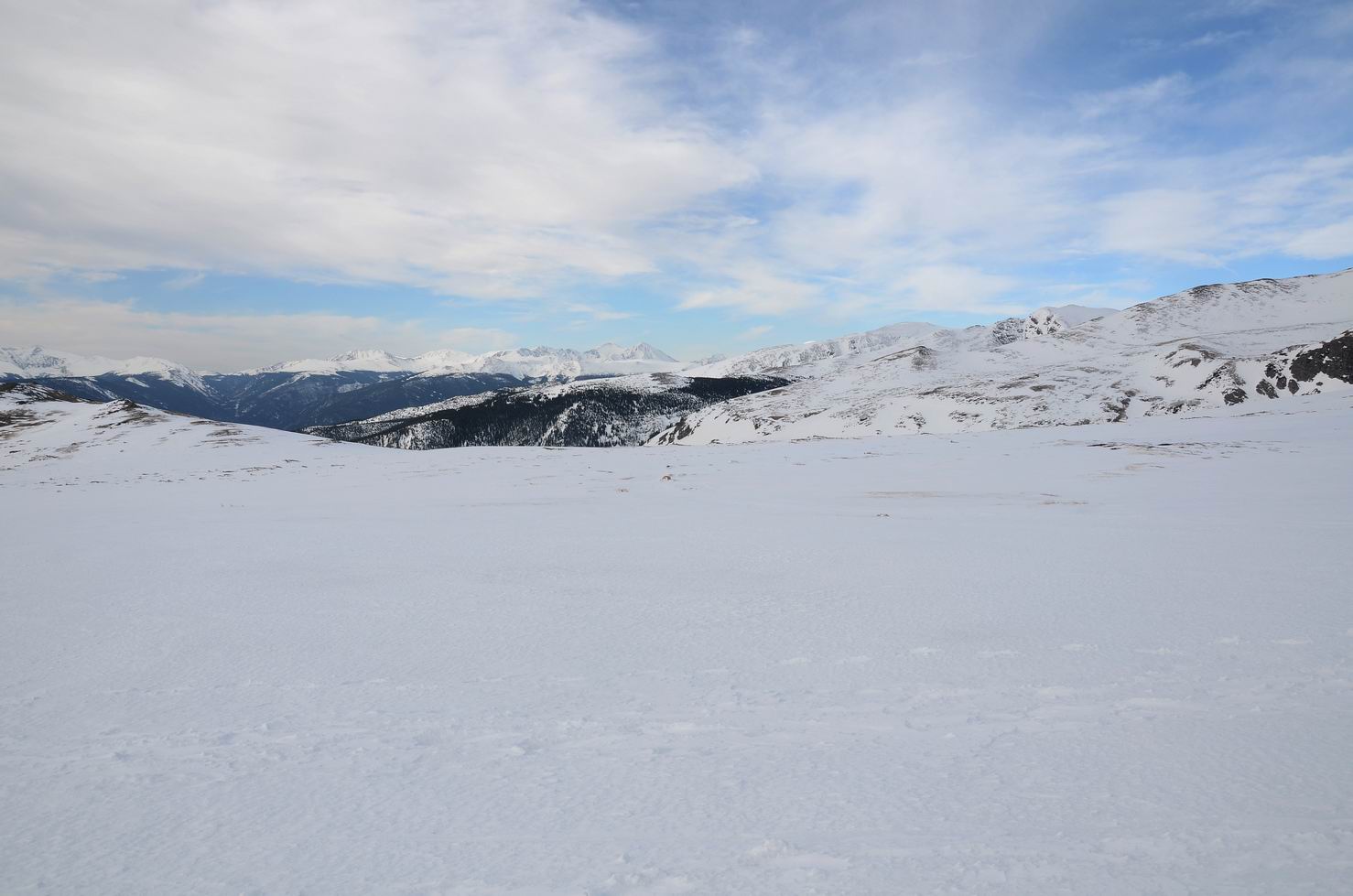
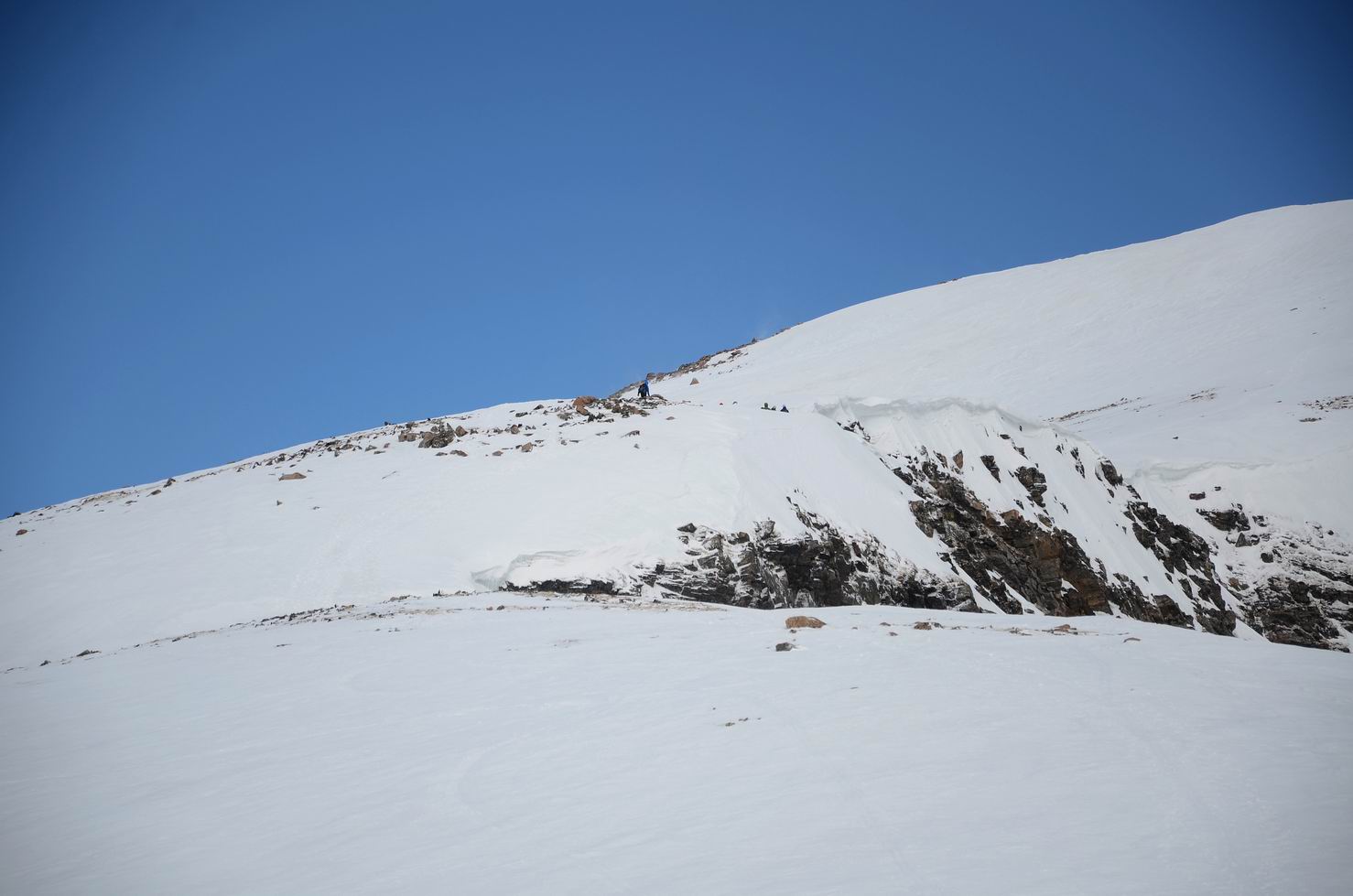
07. St Mary’s Glacier tapers into an expansive tundra flat:
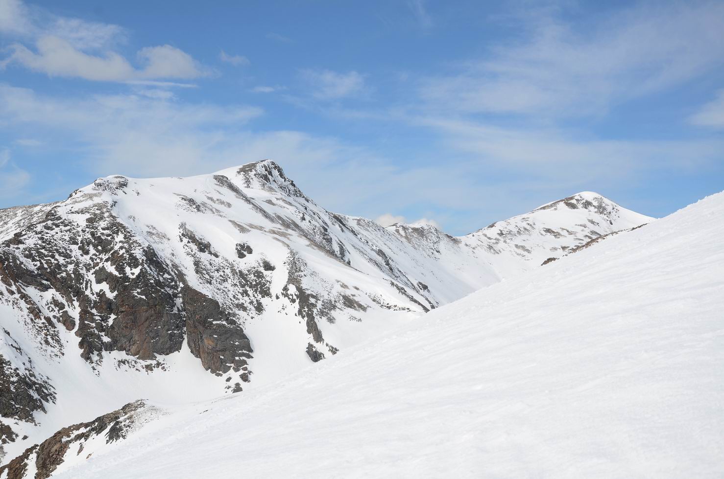
08. Mount Bancroft (left) and James Peak (right) seen from open tundra above the glacier:
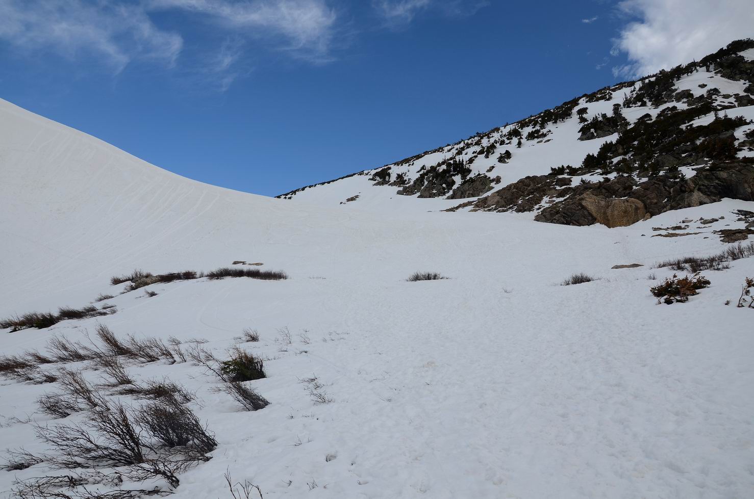
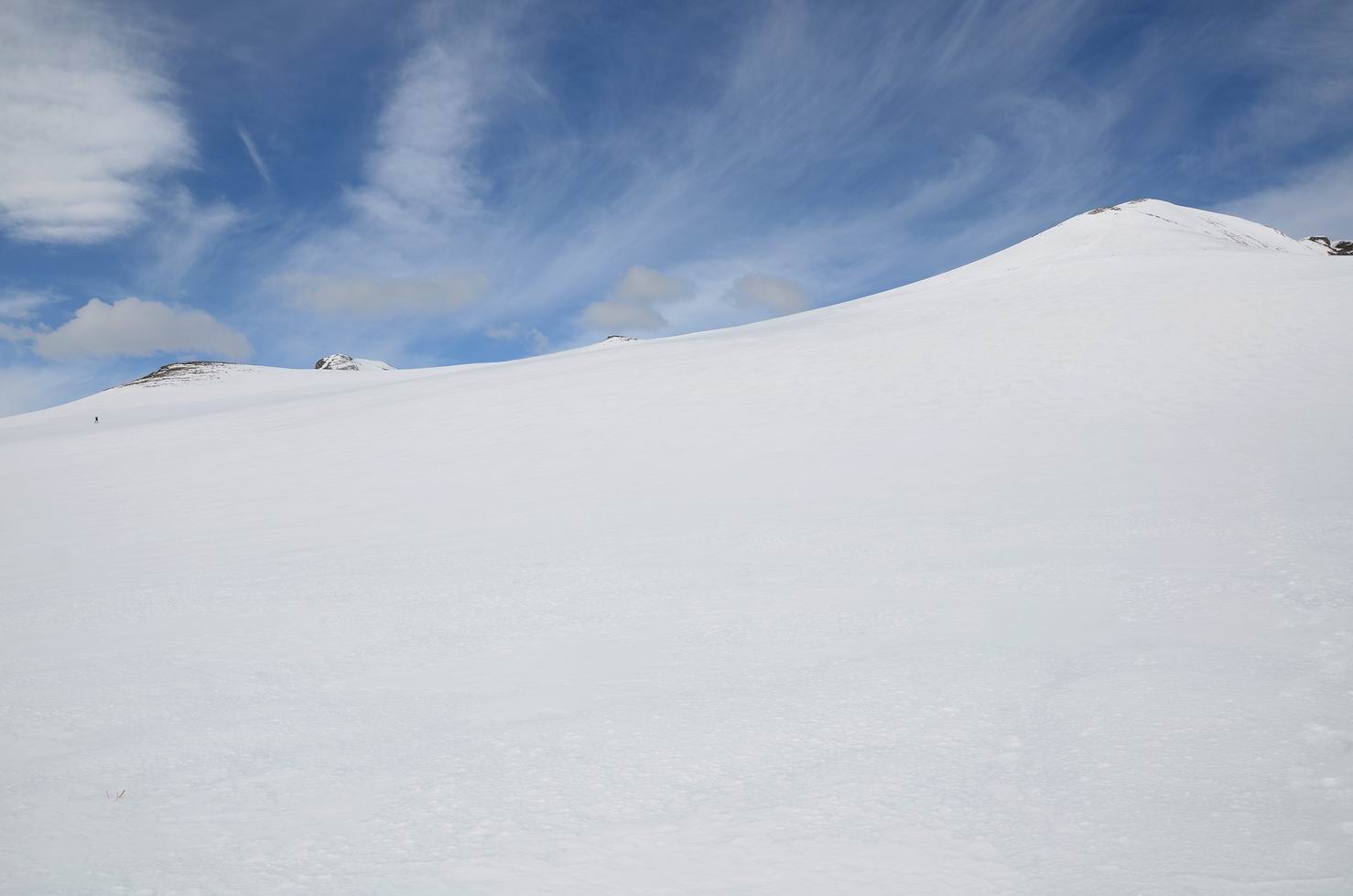
09. 开阔的雪地:
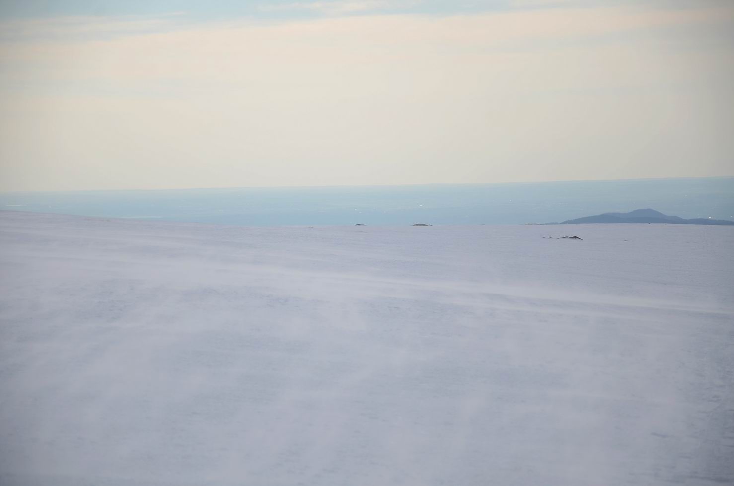
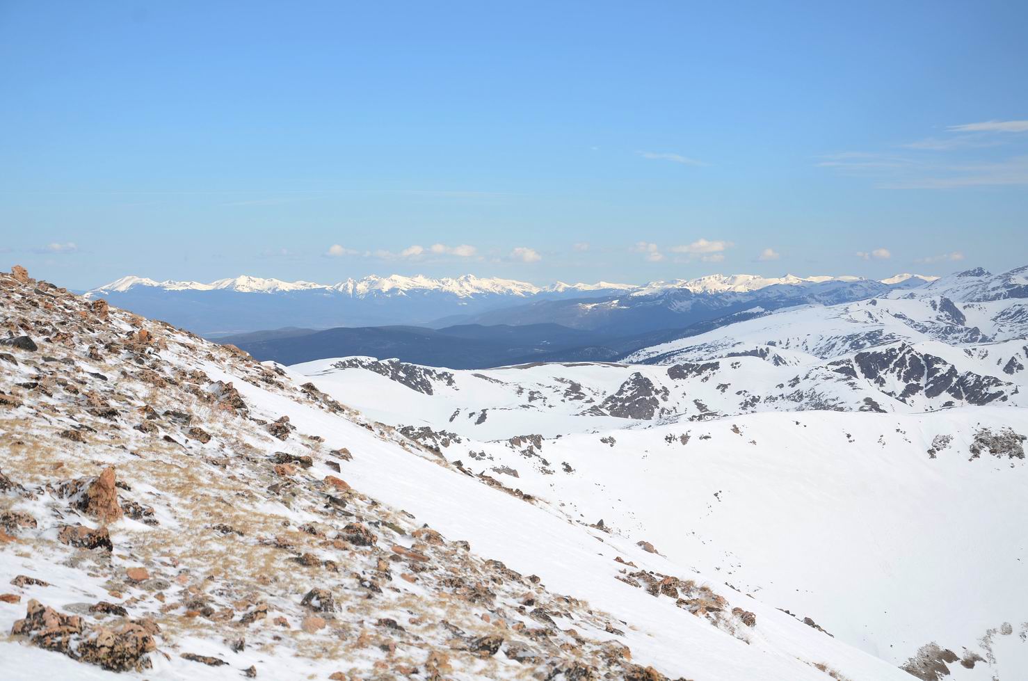
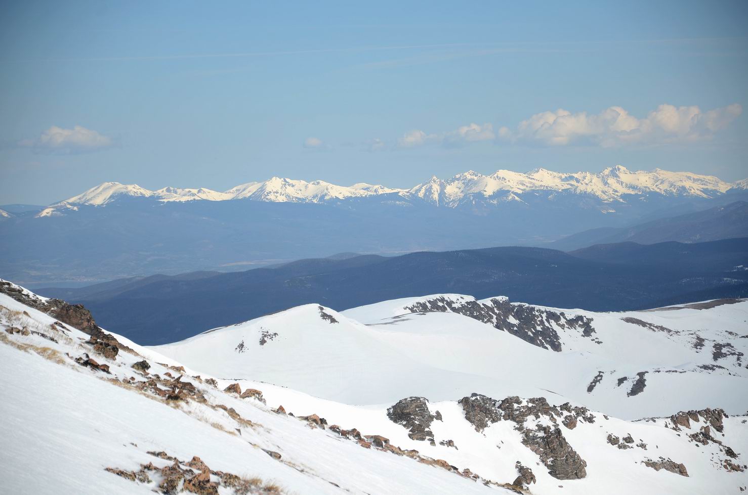
10. 向一侧望去:
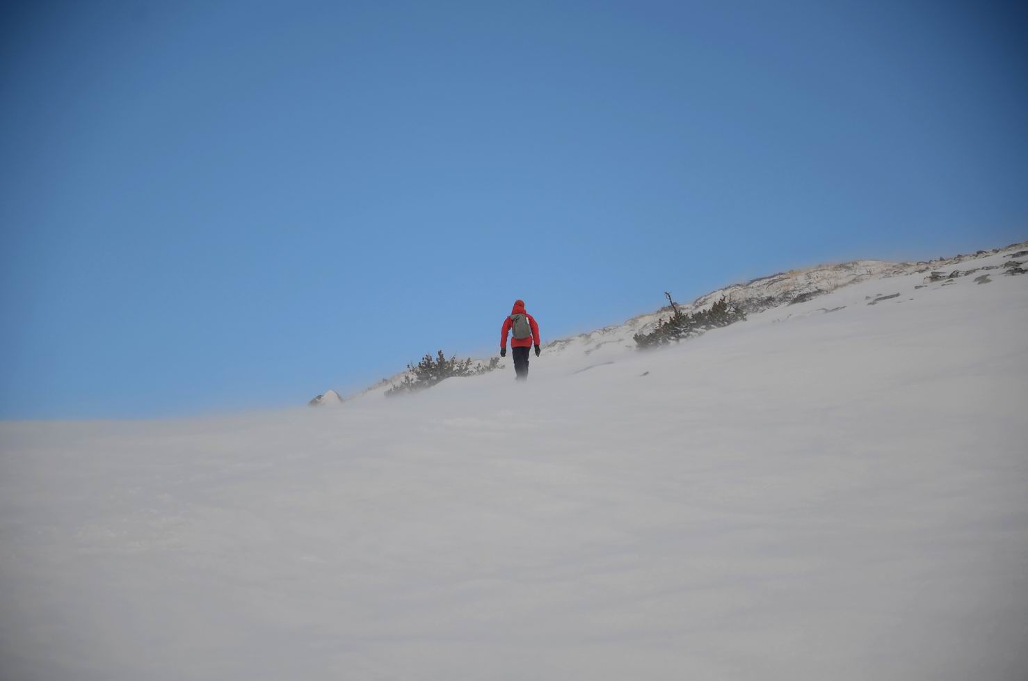
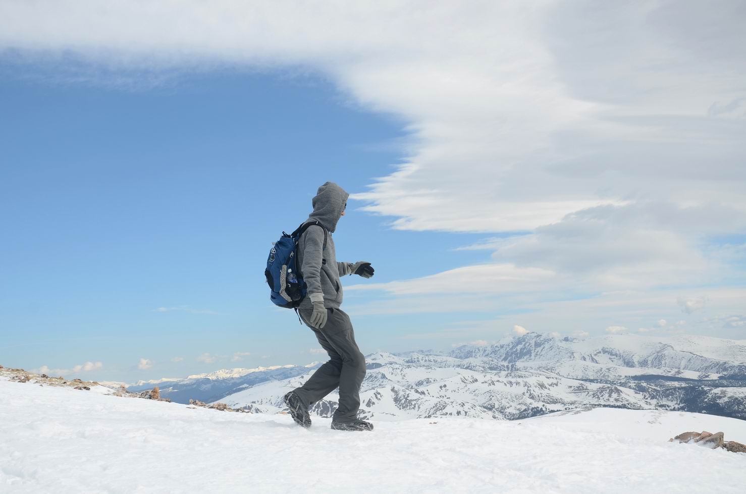
11. 起风了:
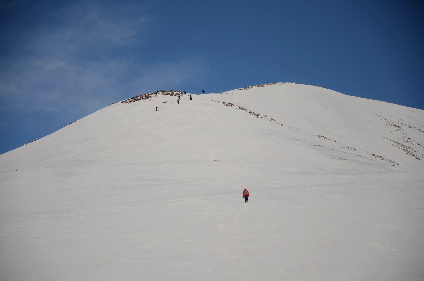
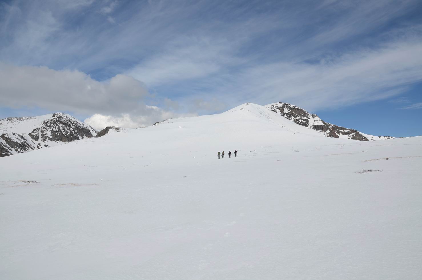
12. 在雪地中前行:
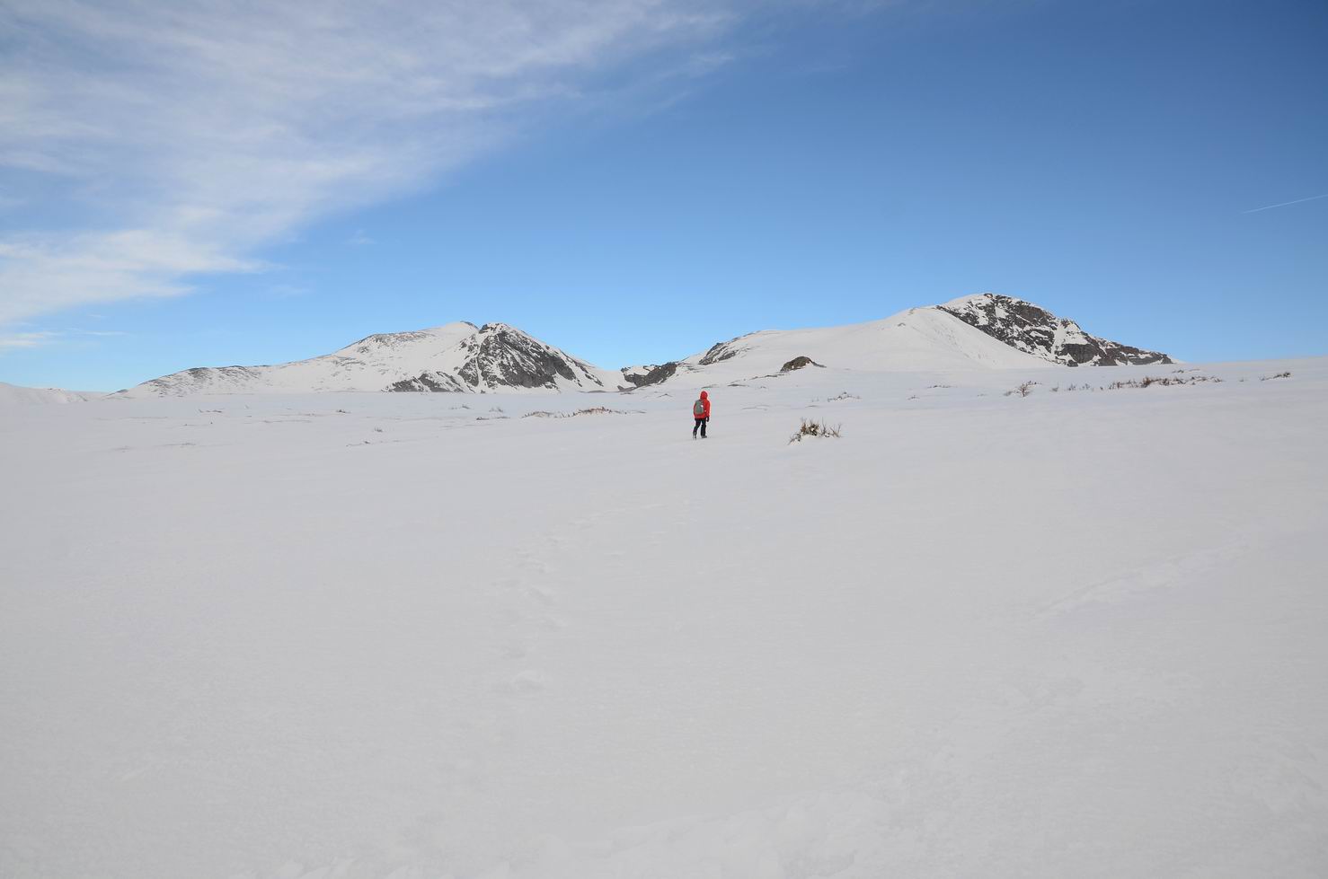
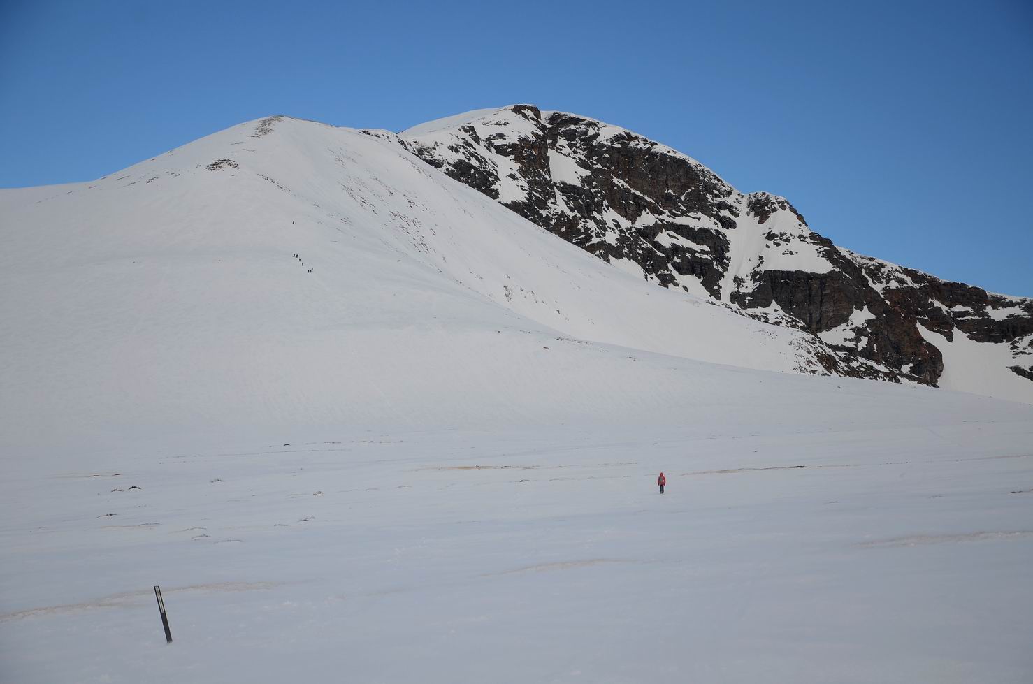
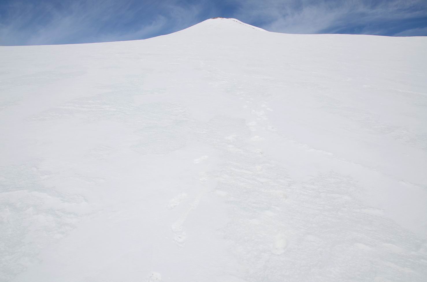
13. 在雪地中前行, 最高处为James Peak:
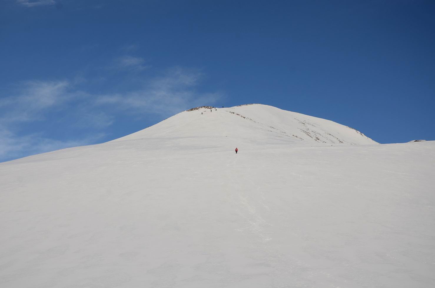
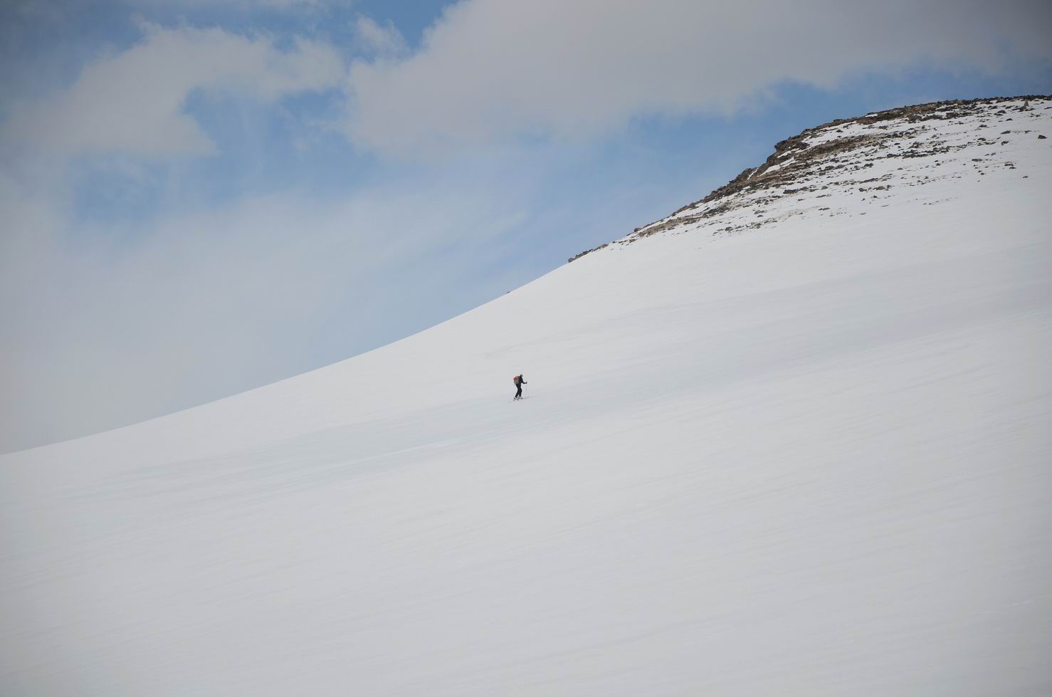
14. 开始冲刺:
15. 开始冲刺:
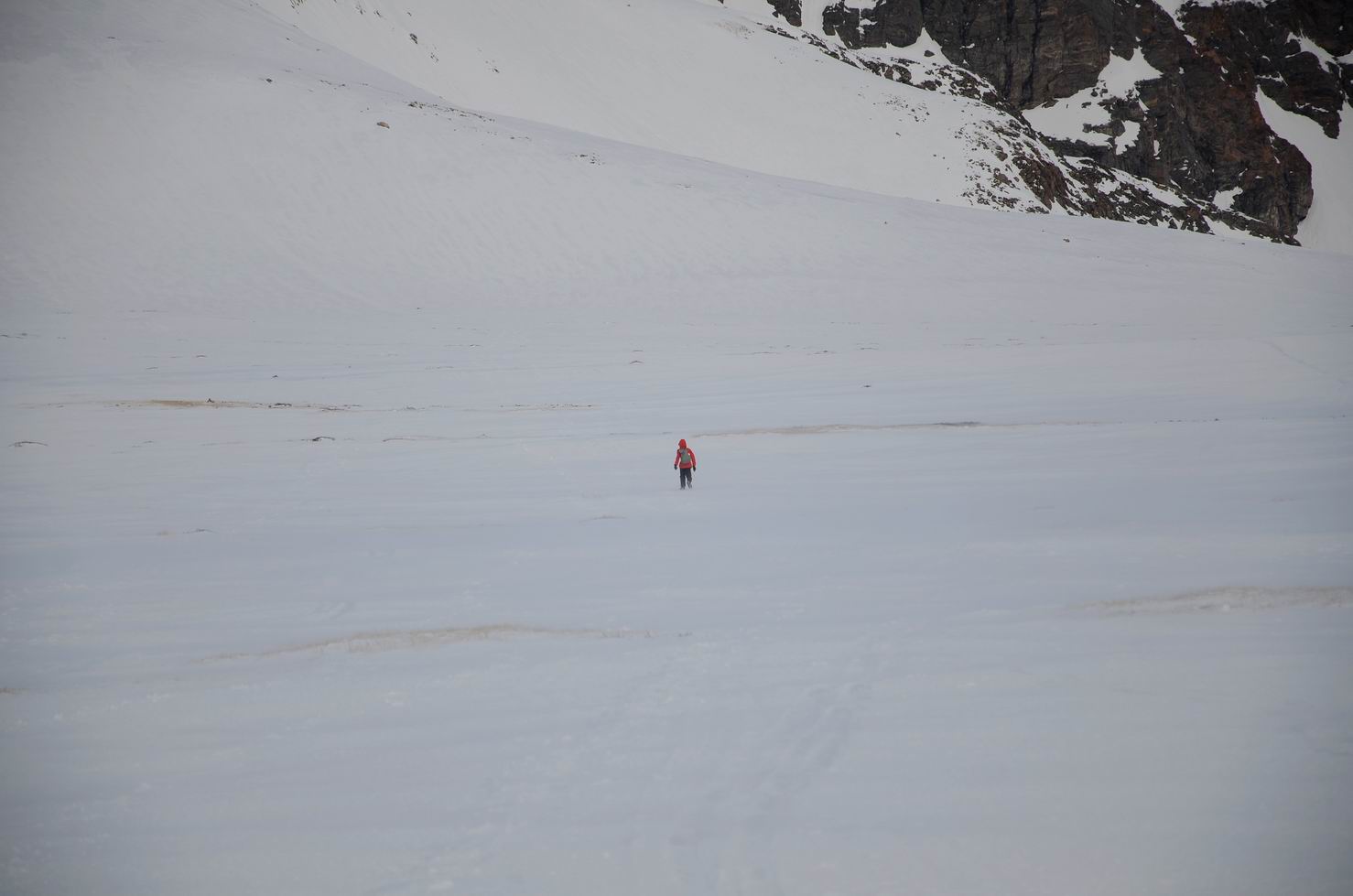
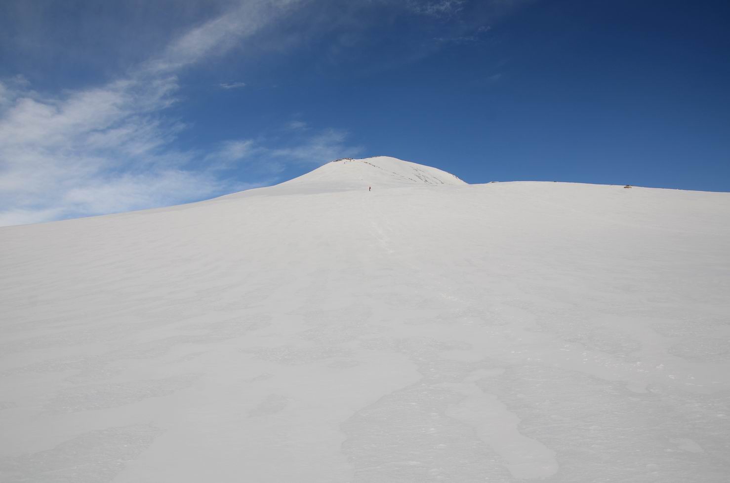
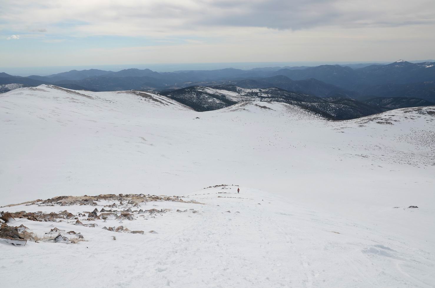
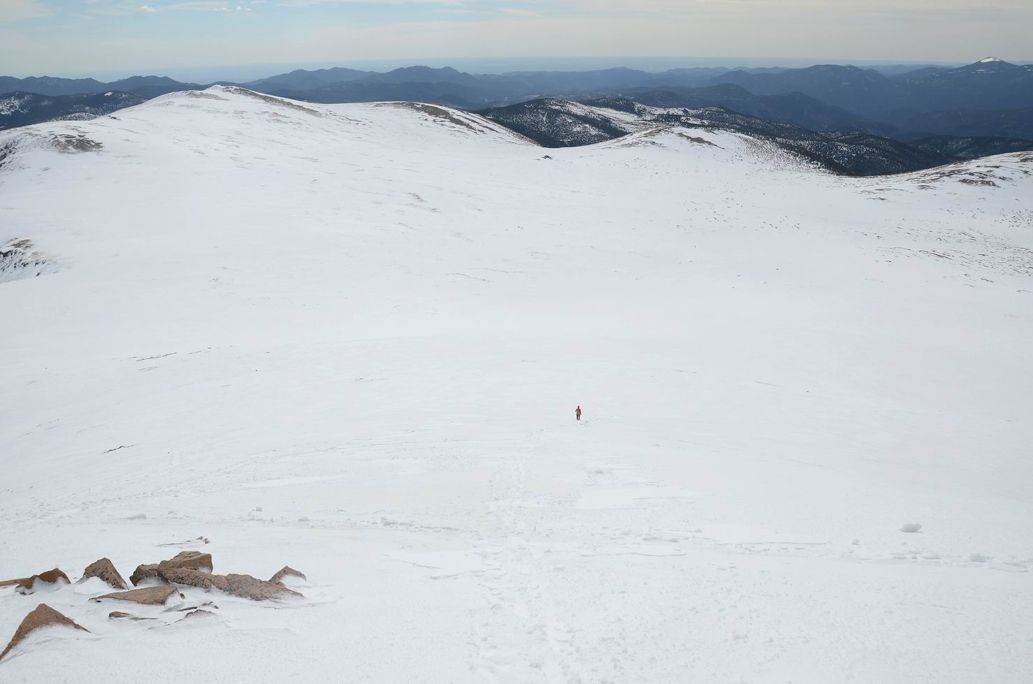
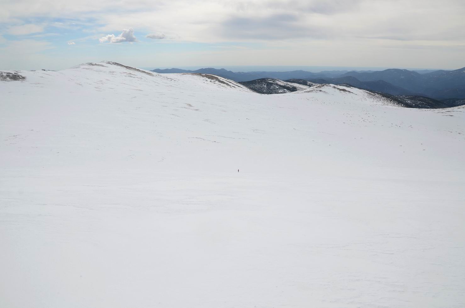
16. 一大片雪地, 我被远远落在后面:
17. 向一侧望去:
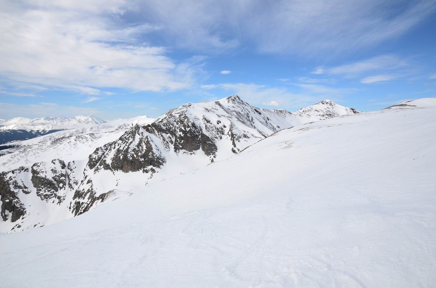
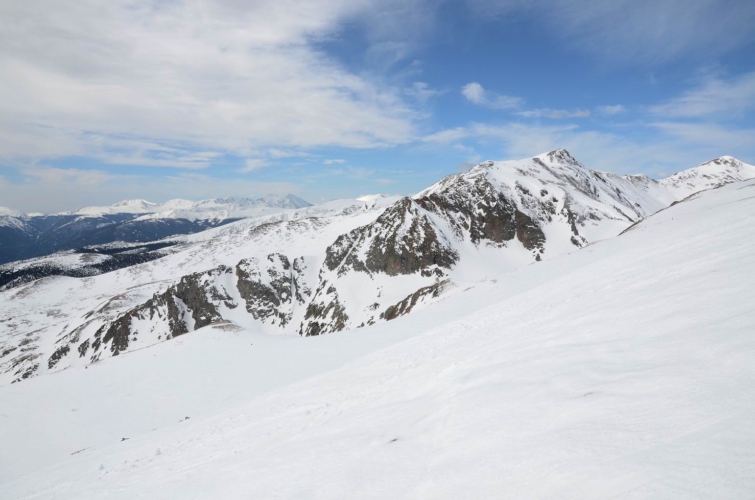
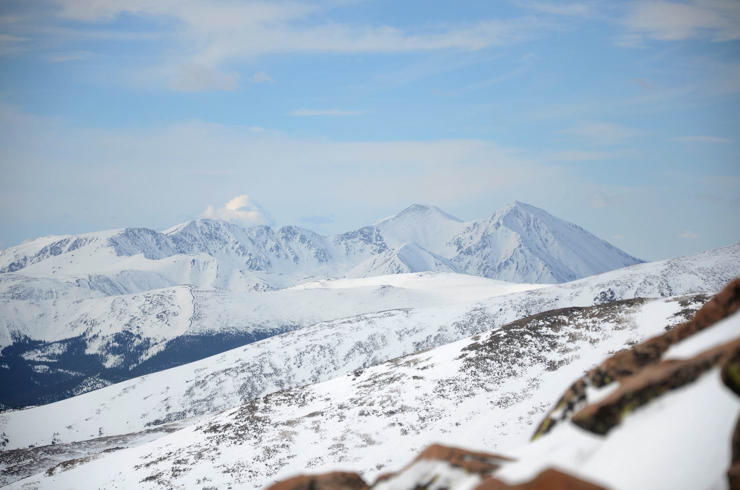
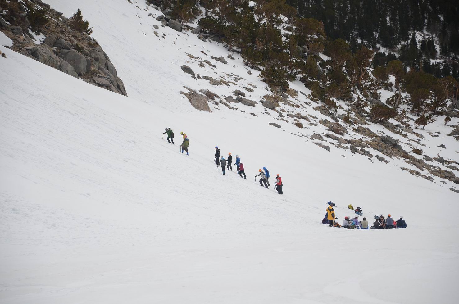
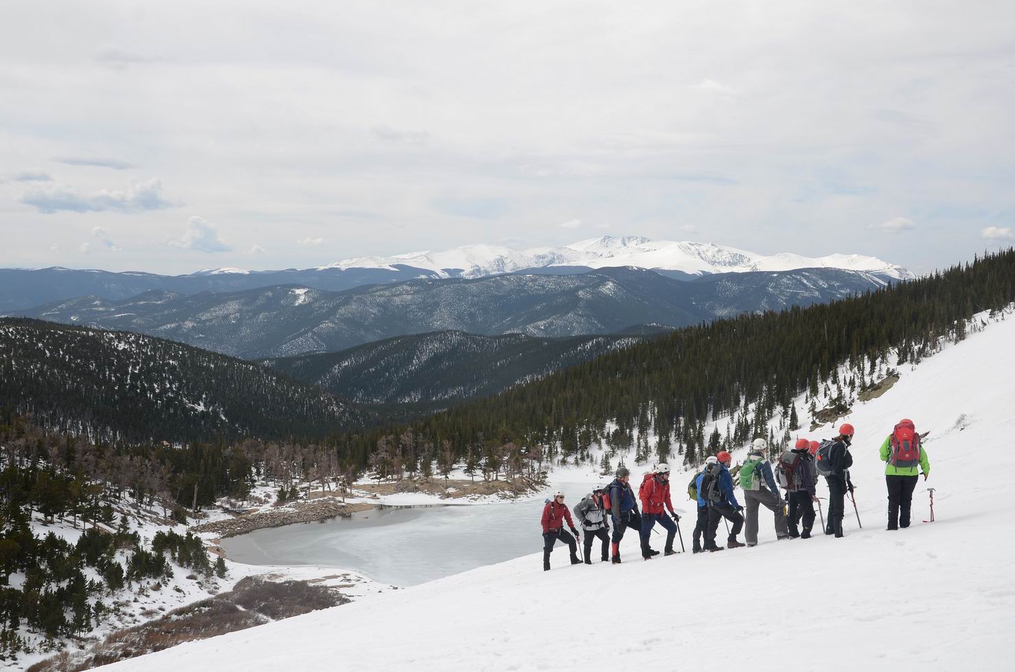
18. Grays Peak和Torreys Peak(皆为14er):

19. Grays Peak和Torreys Peak(皆为14er):
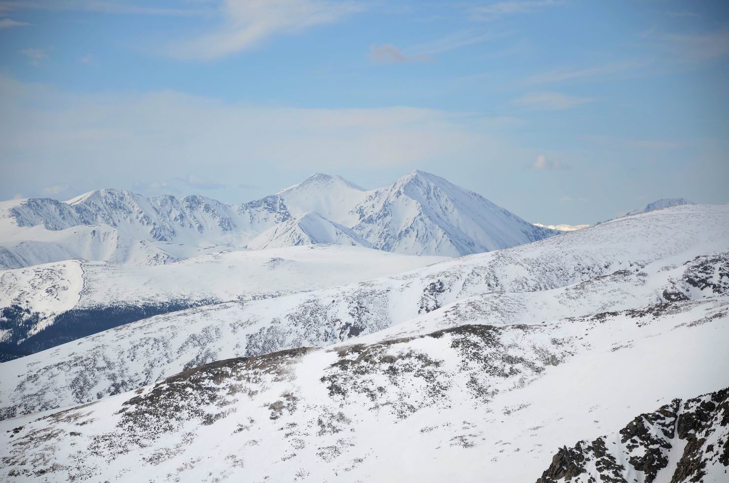
20. Grays Peak和Torreys Peak(皆为14er):
21. Continental Divide, 大陆分水岭:
22. Continental Divide, 主要水系在这里分为东向(汇入密西西比河)和西向(注入太平洋)两部分。:
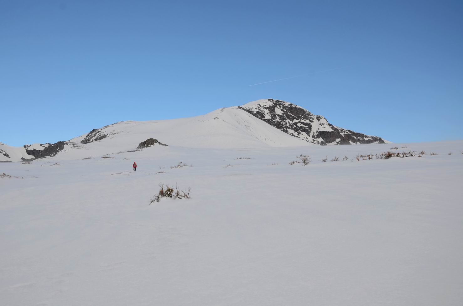
23. 前面就是James Peak:

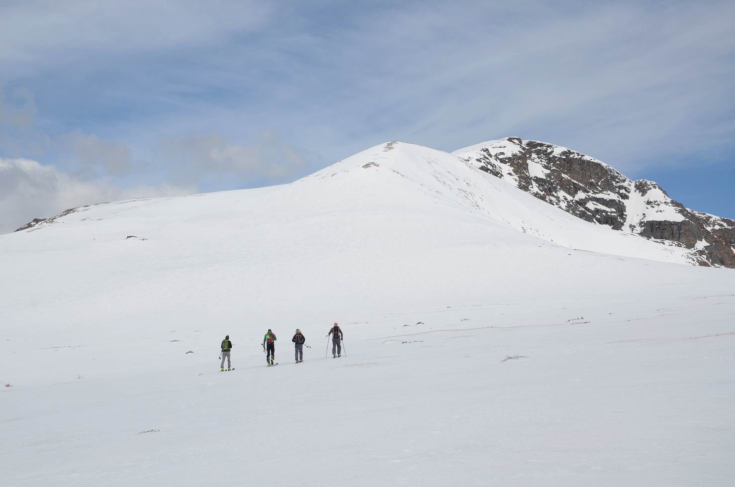
24. 在我们前面还有一路人马:
25. 风太大, 人都站不稳:
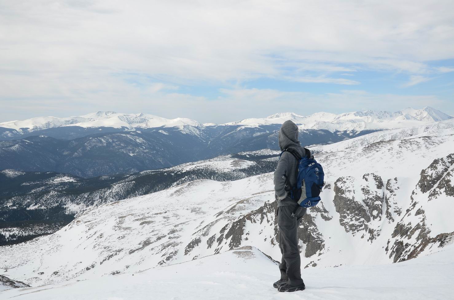
26. 一览众山小:
27. 开始下山:
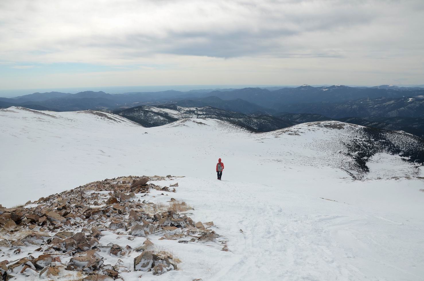
28. 开始下山:
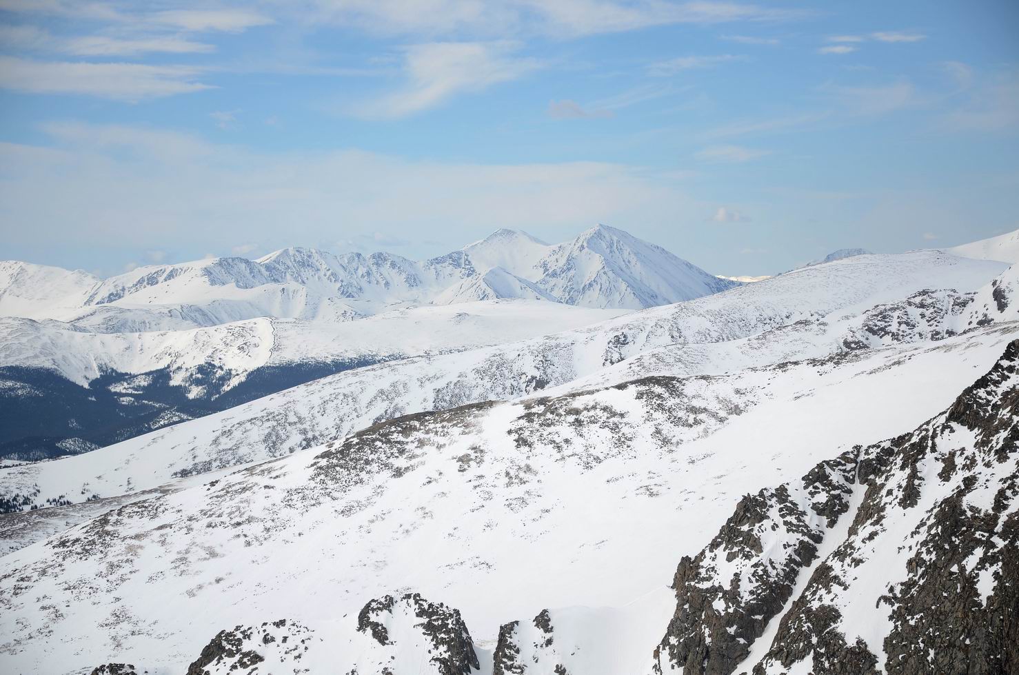
29. 下山的路上再望向Grays Peak和Torreys Peak:
30. 下山的路上再望向Grays Peak和Torreys Peak:
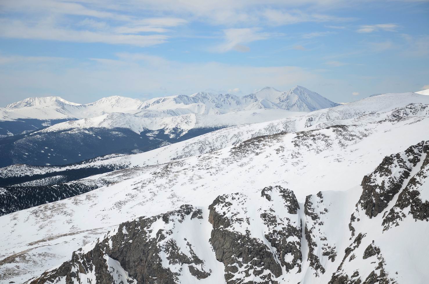
31. 下山的路上再望向Grays Peak和Torreys Peak:
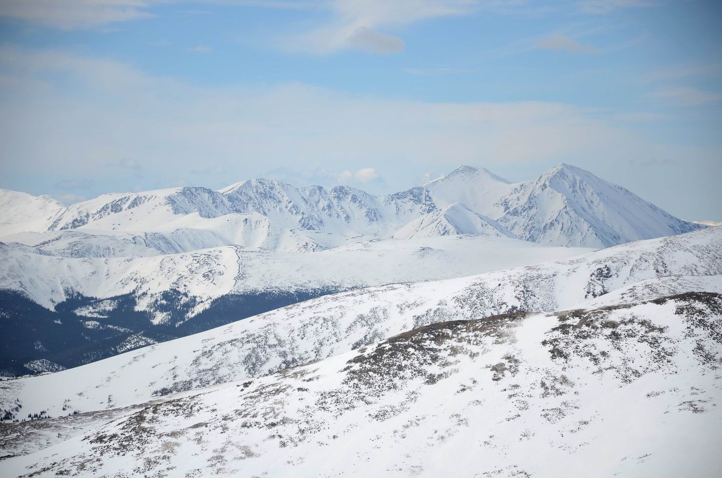
32. 下山的路上再望向Grays Peak和Torreys Peak:
33. 下山的路上再望向Grays Peak和Torreys Peak:
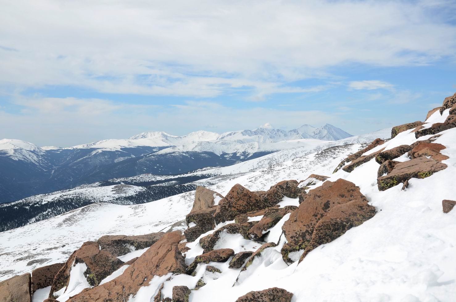
34. 下山的路上再望向Grays Peak和Torreys Peak:

35. Mount Bancroft (13,250′):
36. 下山途中:
37. 下山途中:

38. 下山途中, 我又被落下很远:
39. 回望山顶, 一片白茫茫:
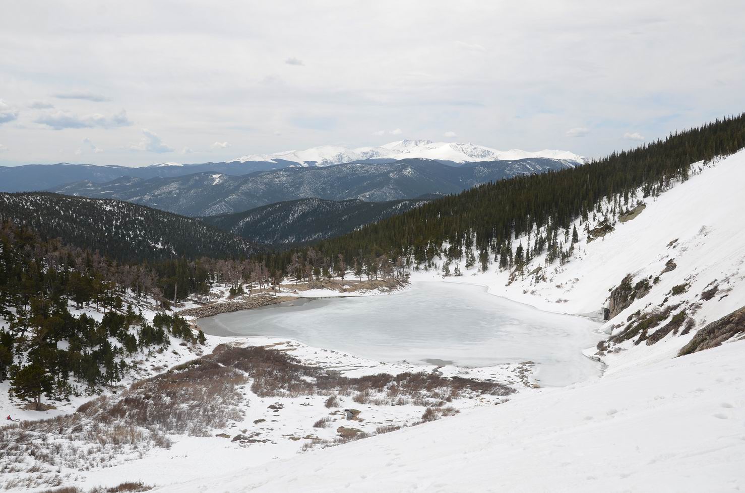
40. 有人穿着雪橇登山:
41. 有人穿着雪橇登山:
42. 有人穿着雪橇登山:
43. 有人穿着雪橇登山:
44. 雪地非常开阔:
45. 人们在练习登雪山:
46. 俯瞰St Mary’s Lake:
47. St Mary’s Lake, located just below the glacier, is ringed by bristlecone pine:
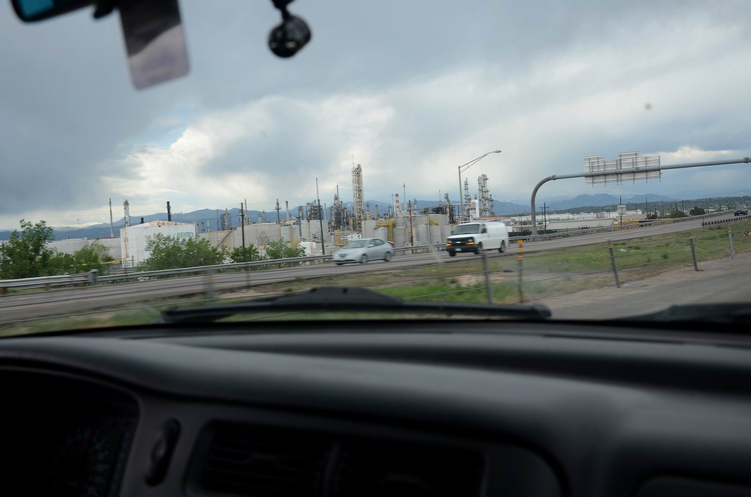
48. 回Boulder的路上总会路过这个工厂:
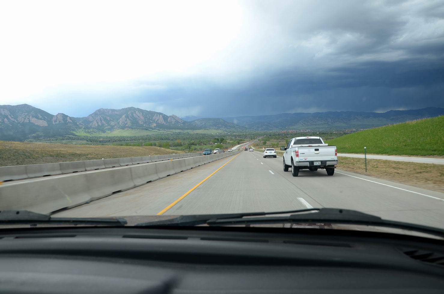
49. 回到Boulder:
仿佛看到了风~